 Escambray ENGLISH EDITION
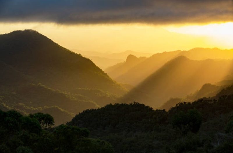
With the purpose of advancing the governance model of the mountainous region in the center of the country, the workshop “Toward the Integrated Management of Guamuhaya National Geopark: Communication, Provincial Coordination, and Unified Management Plans” will take place from September 15 to 18 at the Topes de Collantes facilities, an event convened by the Gaviota Group, in coordination with the Ministry of Energy and Mines (Minem) and the Ministry of Science, Technology and Environment (Citma), according to a press release to which Escambray had access.
The meeting will bring together more than 35 specialists, managers, and community representatives from the provinces of Sancti Spíritus, Villa Clara, and Cienfuegos, and will mark a milestone in the implementation of Agreement 10240/2025 of the Council of Ministers, which officially declared the Guamuhaya Geopark, published in Ordinary Official Gazette No. 96 on December 22, 2025.
With an area of 2,143 square kilometers and 50 geosites of high heritage value—seven of international relevance, nine national, 22 regional, and 12 local—Guamuhaya National Geopark is moving toward an integrated and participatory management model.
Among the main objectives of the workshop are the official presentation of the Geopark’s digital platform (website and social media) as a management, communication, and promotion tool; the formation of Provincial Coordinating Boards in Sancti Spíritus, Villa Clara, and Cienfuegos; progress toward a Single Integrated Management Plan that harmonizes the plans of the nine Protected Areas of the National System of Protected Areas (SNAP) within the polygon; and the definition of the management regime for the 14 geosites located outside the boundaries of the protected areas.
The event convenes directors and administrators of the nine SNAP Protected Areas—Topes de Collantes, Lomas de Banao, Hanabanilla, Valle de Yaguanabo, Pico San Juan, Cueva Martín Infierno, El Purial, Aguacate-Boca de Carreras, and Guajimico—along with technicians from provincial Citma, representatives of the five municipalities involved (Trinidad, Fomento, Sancti Spíritus, Manicaragua, and Cumanayagua), community leaders, local guides, tourism entrepreneurs, and academic specialists from universities in the central region.
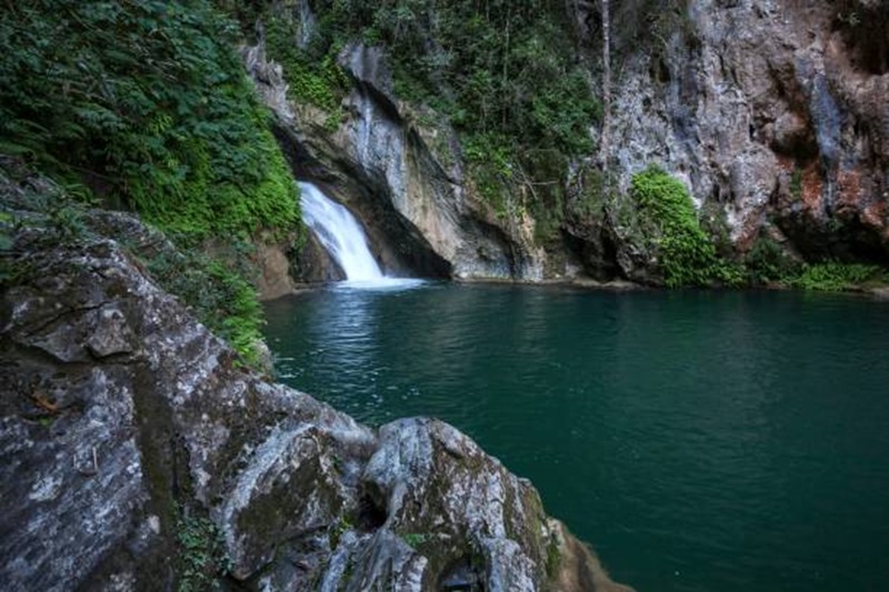
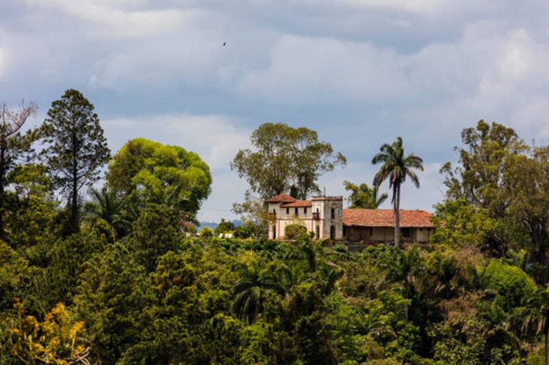
SPANISH MANSION above SALTO DE CABURNI located at TOPES DE COLLANTES in the mountains of SIERRA DEL ESCAMBRAY – CUBA 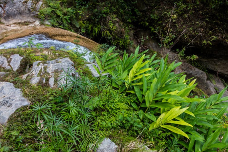
Plants flourish along the river at SALTO DE CABURNI located the TOPES DE COLLANTES in the mountains of SIERRA DEL ESCAMBRAY – CUBA 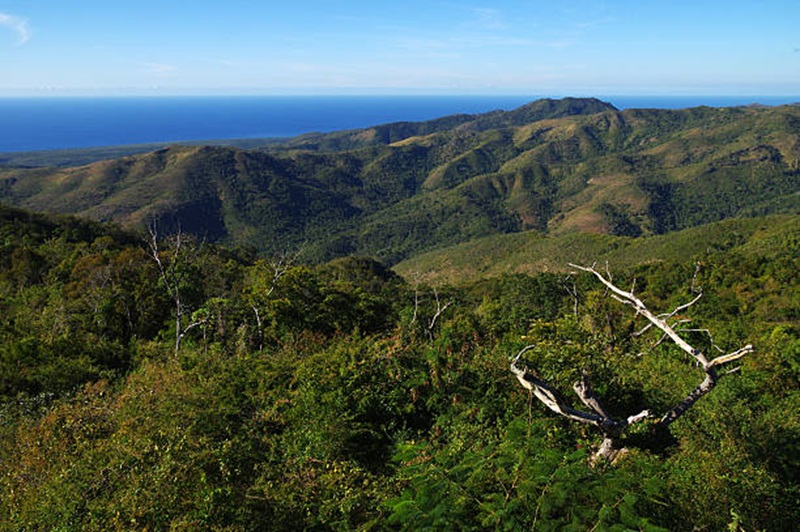
Typical rolling hills comprised of woods and meadows form typical scenery of the Gran Parque Natural Topes de Collantes national park, Cuba
Guamuhaya National Geopark is based on the three fundamental pillars of geoparks: conservation of geological heritage, environmental education, and sustainable local development. Its management, under the Topes de Collantes Tourism Complex, integrates the experience of nature tourism with the protection of a unique heritage that includes karst formations, caves, valleys, and highly sensitive ecosystems.
The workshop will conclude on September 17 with the symbolic signing of the Founding Act of the Provincial Coordinating Boards and the definition of a roadmap for the first six months of implementation, which includes preparing the draft of the Single Integrated Management Plan and identifying the first conservation measures at geosites outside protected areas.




Escambray reserves the right to publish comments.