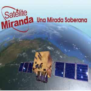
 The Venezuelan government will release the first images today taken by its Miranda satellite after its launch from China on September 28.
The pictures will be unveiled at the headquarters of the Ministry of Science, Technology and Innovation, in Caracas, at a meeting with national and international media, and can also be followed through the National System of Public Media and the @mcti and @SateliteMiranda accounts on the Twitter social network.
The initial graphics were captured three days after the satellite’s successful launch from the Asian nation, the site from which the first Venezuelan communications satellite, Simon Bolivar, was launched into orbit in 2008.
Miranda will capture 350 images per day (about 127,750 per year), allowing access to accurate photos of national territory in strategic areas such as security, defense, mining, petroleum, agriculture, food, health and environment, among others.
According to experts, after Miranda arrived in orbit, technicians began to gauge its payload, while remote sensing and image processing have remained constant since the arrival of the first photographs. Miranda will be fully operational by January 2013, with its digital and optical instruments fully calibrated and prepared to provide the information for which it was designed.
At that time, a group of 54 Venezuelan professionals from the Bolivarian Agency for Space Activities, trained in China, will assume full control of the device from the Aerospace Base “Captain Manuel Rios” in the state of Guarico, as well as from the Technology Complex “Simon Rodriguez,” in La Carlota, Caracas.
 Escambray ENGLISH EDITION


Escambray reserves the right to publish comments.