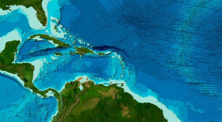
Cuba has no high risk of this kind of event. It is important to remember that the phenomenon was recorded in 1882 and 1946 in the segment of the northern fault of Haiti and the Dominican Republic.
There is no evidence in southern Cuba that seismic and tectonic conditions can produce earthquakes that generate tsunamis. Neither of those strong earthquakes in the Oriente fault or the Caribbean generated tsunamis.
Granma newspaper reported that the map was drawn up with all scientific rigor. Data from all faults with the potential to generate earthquakes capable of producing tsunamis are in our geographical area of interest.
In addition to the Tsunami software, modeling of other scenarios in the so-called Caribbean basin, related to different plate boundaries considered in diverse studies of the Intergovernmental Oceanographic Commission of the Caribbean, were included.


Escambray reserves the right to publish comments.